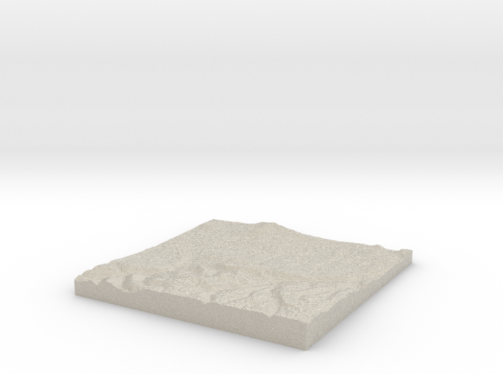
Natural Sandstone

Croydon W530 S160 E540 N170
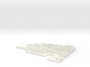
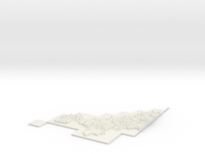
Print With Shapeways
 Choose Your Material
 Choose your color and finish
$83.58
Have a question about this product?
contact the designerYou must be logged in and verified to contact the designer.
Product Description
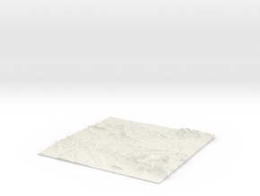
3D Terrain Relief model of Croydon .
Centred on the towns and villages of Shirley, Addiscombe, Addington, Selsdon, Woodside, Croydon, Eden Park, West Wickham, Sanderstead, South Norwood, New Addington, Selhurst, Elmers End, Beddington, Anerley, Beckenham, Farleigh, Purley, Thornton Heath, Kenley, Fickleshole and Norbury.
All areas of United Kingdom available in any size, scale and with any vertical scaling to emphasise the terrain to best effect.
The W S E and N numbers in the title show the Western, Southern, Eastern and Northernmost limits of the area in terms of the Ordnance Survey grid reference in kilometres.
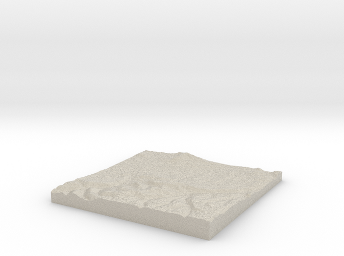
Details
What's in the box:
W530 S160 E540 N170 Shirley
Dimensions:
Success Rate:
First To try.
What's this?
Rating:
Mature audiences only.

