White Natural Versatile Plastic

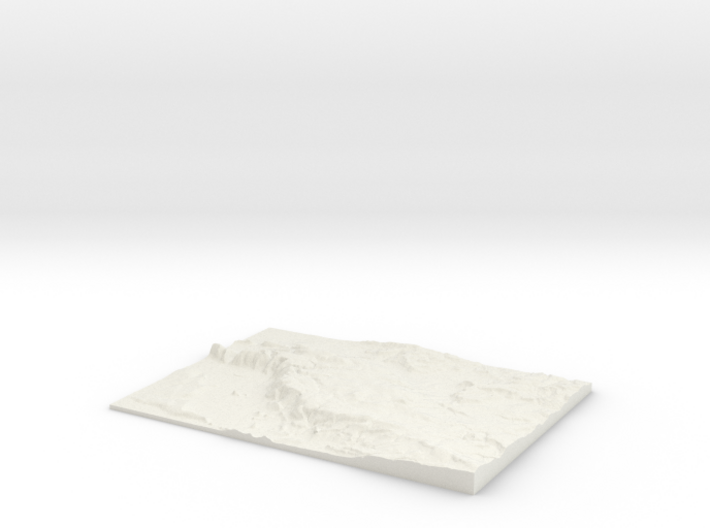
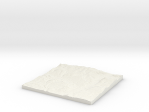
The Mendips W340 S145 E365 N163
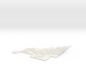
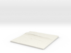
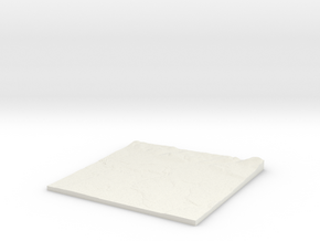
Print With Shapeways
 Choose Your Material
 Choose your color and finish
$68.47
Have a question about this product?
contact the designerYou must be logged in and verified to contact the designer.
Product Description
3D Terrain Relief model of The Mendips, Somerset.
Centred on the towns and villages of Priddy, East Water, Ubley, Charterhouse, Green Down, Ridge, Compton Martin, East Harptree, West Harptree, Nempnett Thrubwell, Ford, Old Ditch, West Town, Westbury-sub-Mendip, Wookey Hole, Sherborne, Cheddar, Coley, Blagdon, Litton, Easton, Draycott, Lower Milton, Rodney Stoke, Chewton Mendip, South Widcombe, Bathway, Butcombe, Wookey, Green Ore, Hinton Blewett, North Widcombe, Rickford, Hythe and Axbridge.
All areas of United Kingdom available in any size, scale and with any vertical scaling to emphasise the terrain to best effect.
The W S E and N numbers in the title show the Western, Southern, Eastern and Northernmost limits of the area in terms of the Ordnance Survey grid reference in kilometres.
Details
What's in the box:
W340 S145 E365 N163 The Mendips_fixed

Dimensions:
Success Rate:
First To try.
What's this?
Rating:
Mature audiences only.

More From This Shop
$33.95
$31.21