


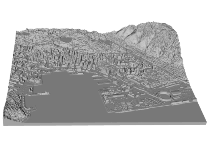

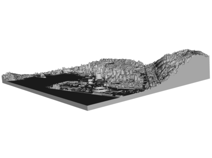

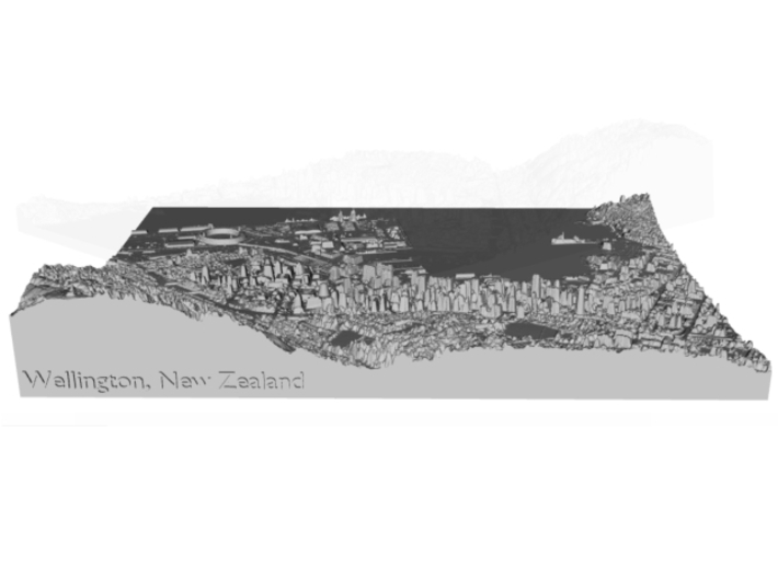

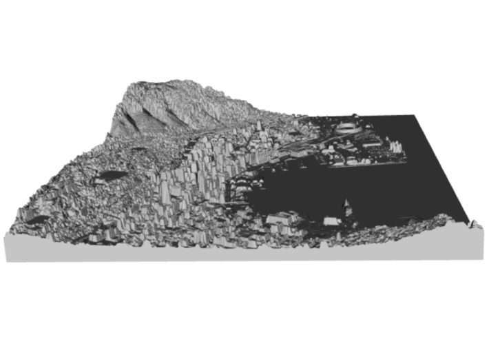


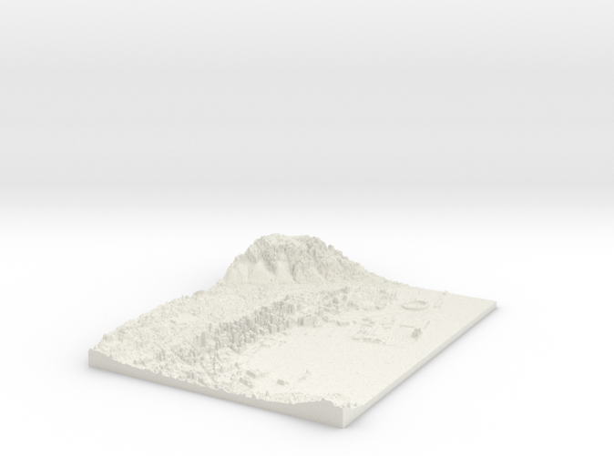
Map of Downtown Wellington, New Zealand
Made by
Print With Shapeways
 Choose Your Material
 Choose your color and finish
$168.83
Have a question about this product?
contact the designerYou must be logged in and verified to contact the designer.
Product Description
Interactive 3D View
If you would like a custom relief map, contact me through my website or through Shapeways.
Wellington /ˈwɛlɪŋtən/ (Māori: Te Whanganui-a-Tara) is the capital city and second most populous urban area of New Zealand, with 412,500 residents.[3] It is at the south-western tip of the North Island, between Cook Strait and the Rimutaka Range. Wellington is the major population centre of the southern North Island and is the administrative centre of the Wellington Region, which also includes the Kapiti Coast and Wairarapa. It is the world's windiest city, with an average wind speed of over 26 km/h,[4] and the world's southernmost capital of a sovereign state.[5]
The Wellington urban area comprises four local authorities: Wellington City, on the peninsula between Cook Strait and Wellington Harbour, contains the central business district and about half the population; Porirua on Porirua Harbour to the north is notable for its large Māori and Pacific Island communities; Lower Hutt and Upper Hutt are largely suburban areas to the northeast, together known as the Hutt Valley.
Source: Wikipedia
The model is created at a scale of 1:10,000 with 1.25x vertical exaggeration. It features a built-in base, so it sits perfectly on a desk or in a frame.
Model Data Sources: Land Information New Zealand (LINZ)
Details
What's in the box:
Wellington-8.5x11-Downtown-10k-plastic
Dimensions:
Success Rate:
First To try.
What's this?
Rating:
Mature audiences only.


