


Pico de Orizaba / Citlaltépetl Map: 6"
Made by
Print With Shapeways
 Choose Your Material
 Choose your color and finish
$141.89
Have a question about this product?
contact the designerYou must be logged in and verified to contact the designer.
Product Description
Interactive 3D View
If you would like a custom relief map, contact me through my website or through Shapeways. Check out photos of my other 3D prints.
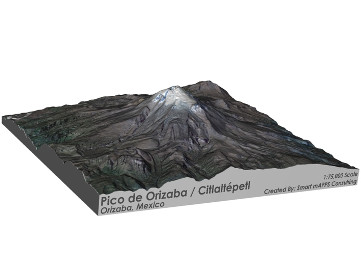
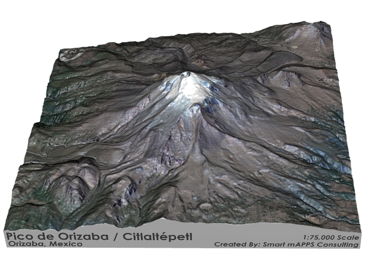
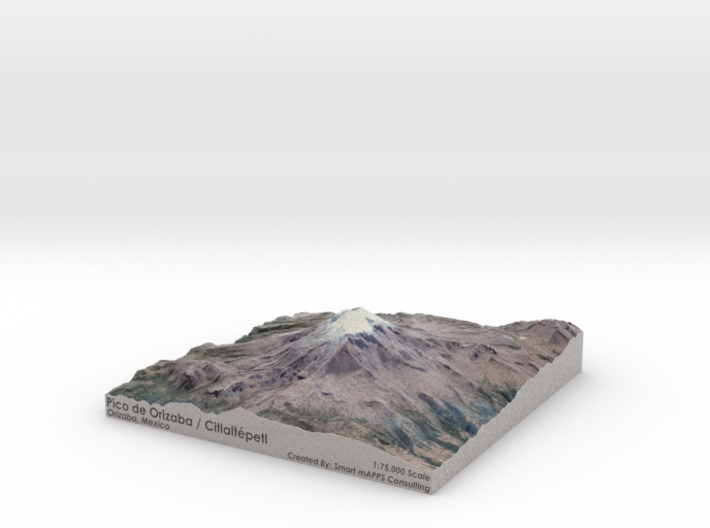
Pico de Orizaba, also known as Citlaltépetl (from Nahuatl citlal(in) = star, and tepētl = mountain), is a stratovolcano, the highest mountain in Mexico and the third highest in North America, after Denali (formerly known as Mount McKinley) of the United States and Mount Logan of Canada. It rises 5,636 metres (18,491 ft) above sea level in the eastern end of the Trans-Mexican Volcanic Belt, on the border between the states of Veracruz and Puebla. The volcano is currently dormant but not extinct, with the last eruption taking place during the 19th century. It is the second most prominent volcanic peak in the world after Africa's Mount Kilimanjaro.
Pico de Orizaba overlooks the valley and city of Orizaba, from which it gets its name. The name Citlaltépetl is not used by Nahuatl speakers of the Orizaba area, who instead call it Istaktepetl (Iztactépetl in the traditional orthography for Classical Nahuatl), or 'White Mountain'. In the earliest mention of the volcano, it was referred to by the natives during the Pre-Columbian Era as Poyautécatl, which means "the ground that reaches the clouds".
Source: Wikipedia
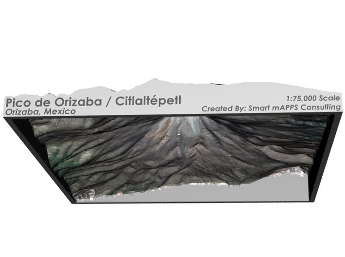
The model is created at a scale of 1:75,000 with NO vertical exaggeration. It features a built-in base, so it sits perfectly on a desk or in a frame.
Model Data Sources: European Space Agency (ESA), Japanese Space Agency (JAXA)
If you would like a custom relief map, contact me through my website or through Shapeways. Check out photos of my other 3D prints.
Pico de Orizaba, also known as Citlaltépetl (from Nahuatl citlal(in) = star, and tepētl = mountain), is a stratovolcano, the highest mountain in Mexico and the third highest in North America, after Denali (formerly known as Mount McKinley) of the United States and Mount Logan of Canada. It rises 5,636 metres (18,491 ft) above sea level in the eastern end of the Trans-Mexican Volcanic Belt, on the border between the states of Veracruz and Puebla. The volcano is currently dormant but not extinct, with the last eruption taking place during the 19th century. It is the second most prominent volcanic peak in the world after Africa's Mount Kilimanjaro.
Pico de Orizaba overlooks the valley and city of Orizaba, from which it gets its name. The name Citlaltépetl is not used by Nahuatl speakers of the Orizaba area, who instead call it Istaktepetl (Iztactépetl in the traditional orthography for Classical Nahuatl), or 'White Mountain'. In the earliest mention of the volcano, it was referred to by the natives during the Pre-Columbian Era as Poyautécatl, which means "the ground that reaches the clouds".
Source: Wikipedia
The model is created at a scale of 1:75,000 with NO vertical exaggeration. It features a built-in base, so it sits perfectly on a desk or in a frame.
Model Data Sources: European Space Agency (ESA), Japanese Space Agency (JAXA)
Details
What's in the box:
Pico-de-Orizaba-6x6

Dimensions:
Success Rate:
First To try.
What's this?
Rating:
Mature audiences only.


