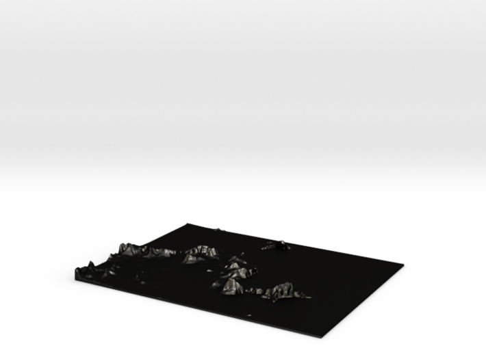
Matte Black Steel


Product Description
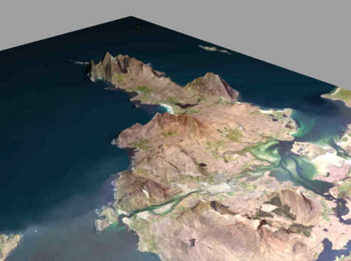
Achill island
- digtal elevation data from https://www.eea.europa.eu (10-meter)
- satellite imagery from https://bing.com (EPSG:3857 Pseudo Mercator projection)
- data processed with wget, gdal, qgis, gimp, blender, meshlab
- digtal elevation data from https://www.eea.europa.eu (10-meter)
- satellite imagery from https://bing.com (EPSG:3857 Pseudo Mercator projection)
- data processed with wget, gdal, qgis, gimp, blender, meshlab
Details
What's in the box:
achill

Dimensions:
Success Rate:
First To try.
What's this?
Rating:
Mature audiences only.
