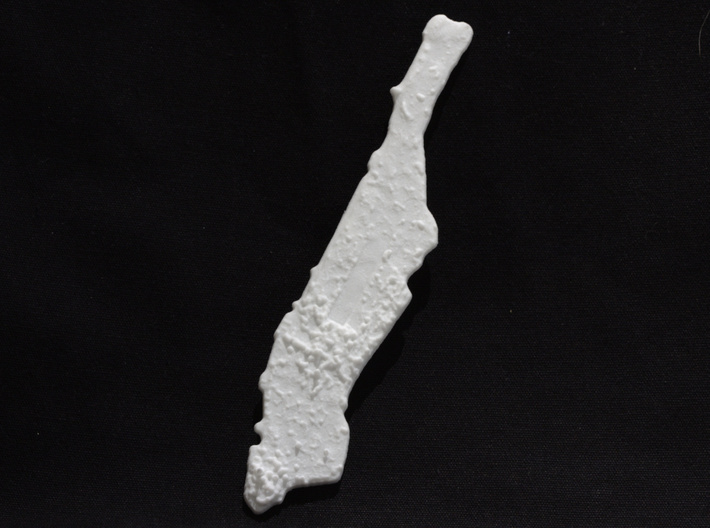
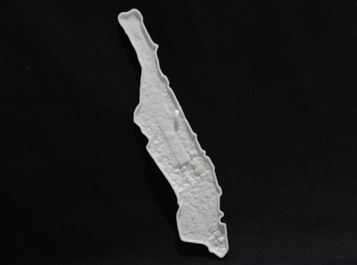
Photo of front of ornament


Manhattan Christmas Ornament
Made by
Print With Shapeways
 Choose Your Material
 Choose your color and finish
$12.00
Have a question about this product?
contact the designerYou must be logged in and verified to contact the designer.
Product Description
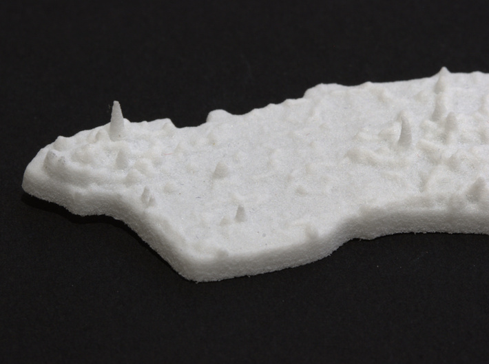
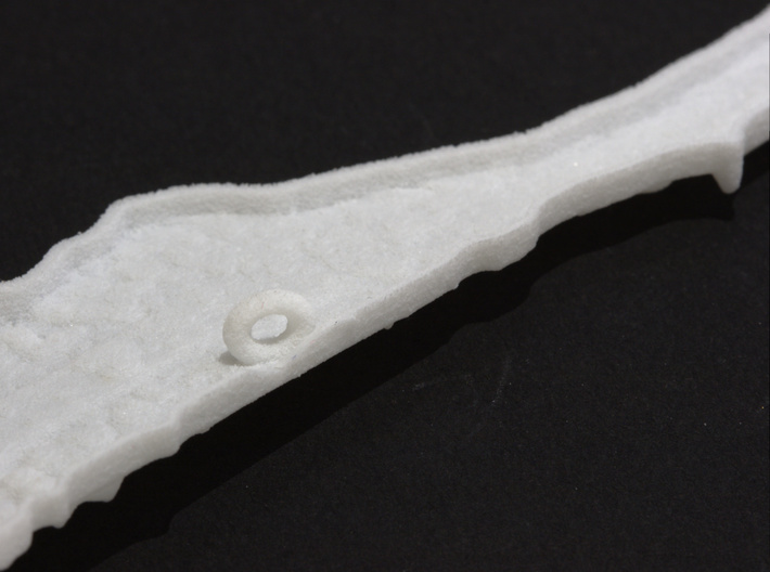
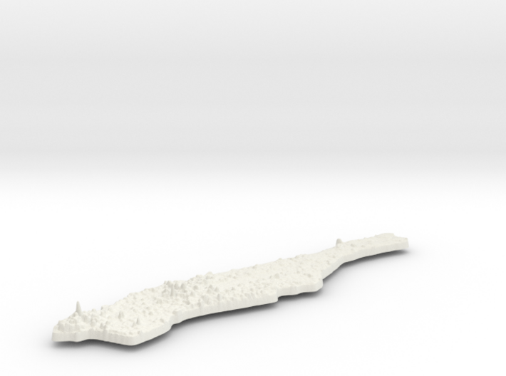
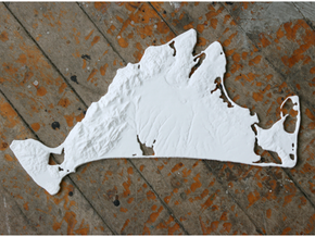
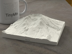
Central Park. The Empire State Building. Times Square. Wall Street. World Trade Center. Fifth Avenue. Grand Central Station. You've probably heard of all of them, if not seen them in person. These are just a few of the icons of Manhattan, New York City's heart and most populous borough. Thanks to airborne LiDAR (laser) scanning, we can now recreate this city in vivid detail. This is TinyMtn's smallest 3D printable model of Manhattan, and is just over 5.5 inches long. The tallest building, the Freedom Tower, stands 1776 feet high, and with 2x vertical exaggeration, is easy to pick out among the other downtown skyscrapers. Central Park's tell-take long rectangle contrasts with Midtown's vertical density. And the terrain of Washington Heights and Inwood round out this unique gift. A hanging hook is convenienty placed on the reverse side above the center of mass, which allows the ornament to hang true.
Model scale is 1:150000
Model covers an area approximately 5.8 by 12.5 miles
Altitudes covered: 0' to 1535'
This model was built with vertical exaggeration of 1:2.
This means that the elevation is more steep and rugged in the model than in real life.
Click here for other 1:150000 models.
TinyMtn Navigator models are strongest and most affordable in the "White Strong and Flexible" material. When you receive the model, there may still be Nylon dust on it from the printing process. Use either an airbrush, canned dust blower, or a soft old toothbrush to remove this dust. Do not get the "White Strong and Flexible" material wet, and don't prime it or use any oil-based paints on it. You can safely seal it with Polycrylic or a similar water-based clear spray sealant. Read more about this popular material here.
These models have been optimized for the above materials, and are not offered in other materials for strength or cost reasons. If you need one in another material, please tinymtnbiz@gmail.com and we'll do our best to fulfill your request.
(C) 2016 TinyMtn (TM)
Model created using GDAL, NetPBM, Gmsh, Carve, MeshLab, and other custom software
Source of digital elevation and aerial orthoimagery data: U.S. Geological Survey
The USGS home page is https://www.usgs.gov/
Details
What's in the box:
Manhattan Christmas Ornament 2C

Dimensions:
Success Rate:
First To try.
What's this?
Rating:
Mature audiences only.
