


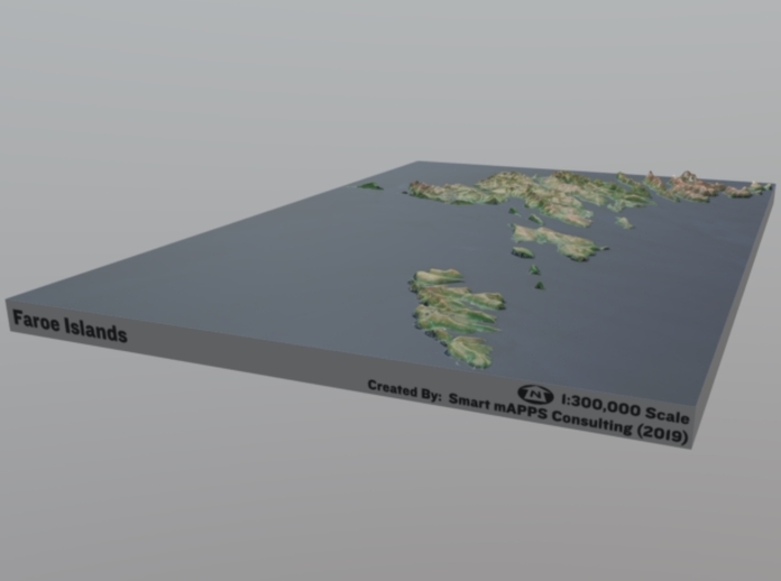


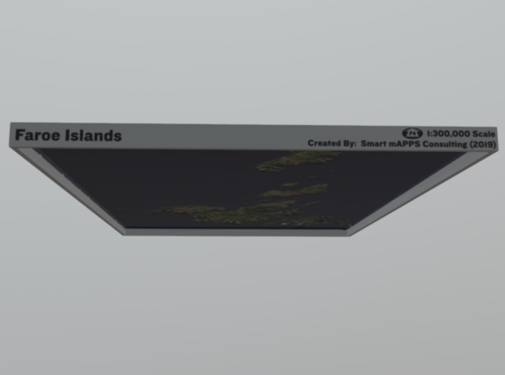

Faroe Islands Relief Map: 1:300,000 Scale
Made by
Print With Shapeways
 Choose Your Material
 Choose your color and finish
$401.52
Have a question about this product?
contact the designerYou must be logged in and verified to contact the designer.
Product Description
Interactive 3D View
If you would like a custom relief map, contact me through my website or through Shapeways. Check out photos of my other 3D prints.
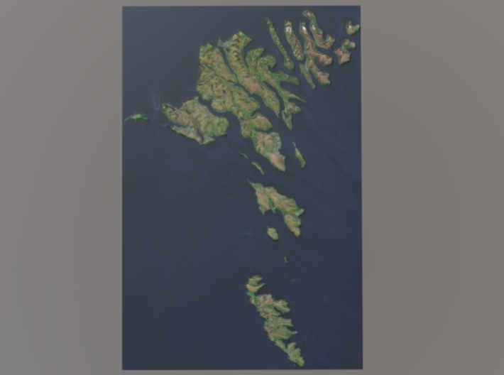
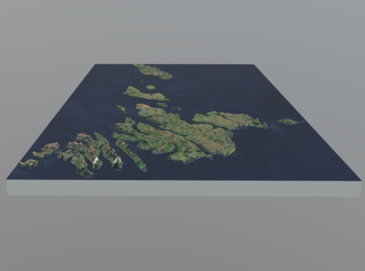
The Faroe Islands (/ˈfɛəroʊ/; Faroese: Føroyar, pronounced [ˈfœɹjaɹ]; Danish: Færøerne, pronounced [ˈfæɐ̯øːˀɐnə]), or the Faeroe Islands—a North Atlantic archipelago located 200 miles (320 km) north-northwest of the United Kingdom and about halfway between Norway and Iceland—are an autonomous country of the Kingdom of Denmark.[8][9][10] Total area is about 1,400 square kilometres (540 sq mi) with a population of 50,322 in October 2017.[3]
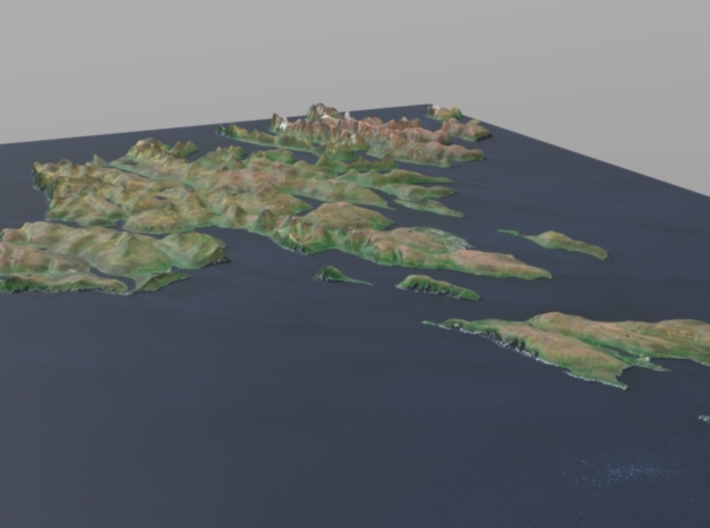
The terrain is rugged; the climate is subpolar oceanic climate (Cfc)—windy, wet, cloudy, and cool. Temperatures average above freezing throughout the year because of the Gulf Stream.
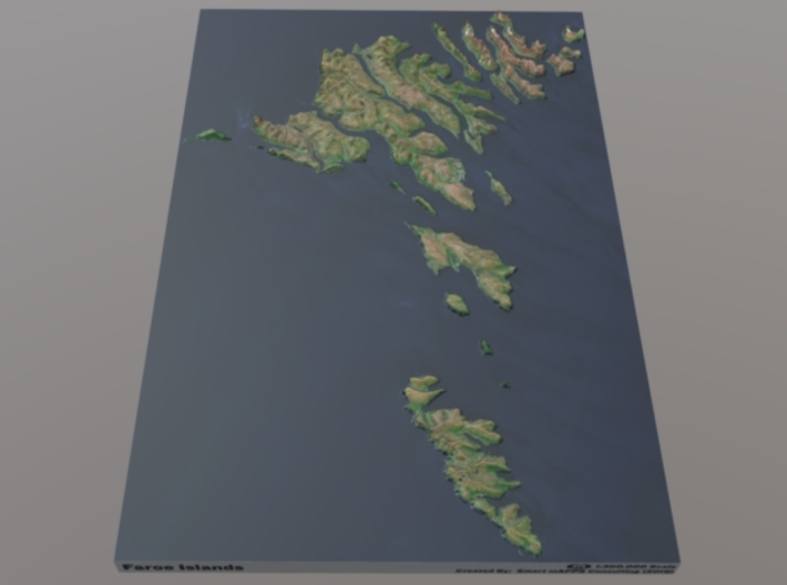
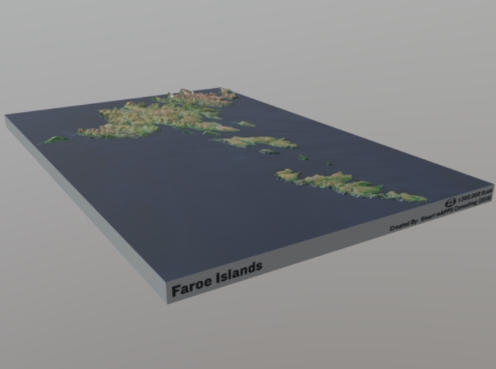
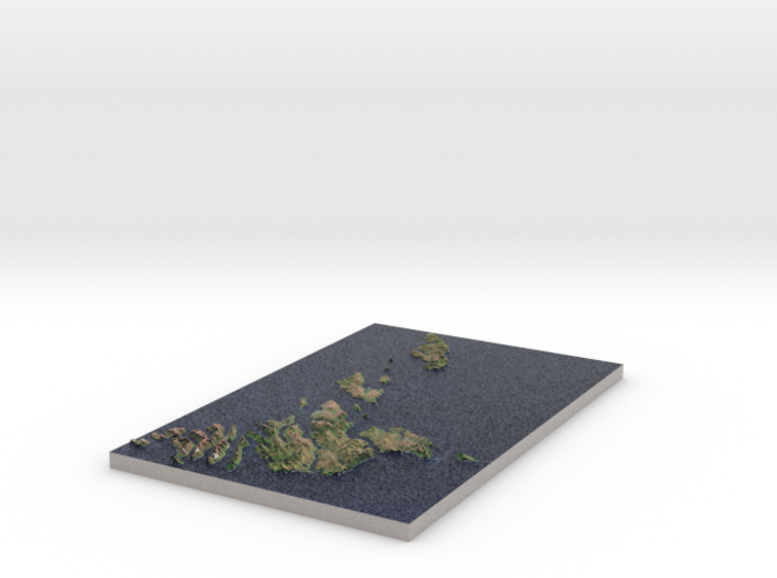
The model is created at a scale of 1:300,000 with 2.25x vertical exaggeration. It features a built-in base, so it sits perfectly on a desk or in a frame.
Model Data Sources: NASA (Elevation), ESA (Imagery)
If you would like a custom relief map, contact me through my website or through Shapeways. Check out photos of my other 3D prints.
The Faroe Islands (/ˈfɛəroʊ/; Faroese: Føroyar, pronounced [ˈfœɹjaɹ]; Danish: Færøerne, pronounced [ˈfæɐ̯øːˀɐnə]), or the Faeroe Islands—a North Atlantic archipelago located 200 miles (320 km) north-northwest of the United Kingdom and about halfway between Norway and Iceland—are an autonomous country of the Kingdom of Denmark.[8][9][10] Total area is about 1,400 square kilometres (540 sq mi) with a population of 50,322 in October 2017.[3]
The terrain is rugged; the climate is subpolar oceanic climate (Cfc)—windy, wet, cloudy, and cool. Temperatures average above freezing throughout the year because of the Gulf Stream.
The model is created at a scale of 1:300,000 with 2.25x vertical exaggeration. It features a built-in base, so it sits perfectly on a desk or in a frame.
Model Data Sources: NASA (Elevation), ESA (Imagery)
Details
What's in the box:
Faroe-Islands-300k

Dimensions:
Success Rate:
First To try.
What's this?
Rating:
Mature audiences only.


