Aluminum

Pleshey W560 S210 E570 N220
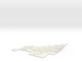
Print With Shapeways
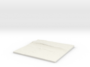
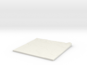
 Choose Your Material
 Choose your color and finish
$792.31
Have a question about this product?
contact the designerYou must be logged in and verified to contact the designer.
Product Description
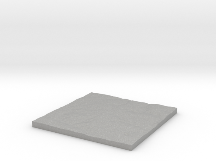
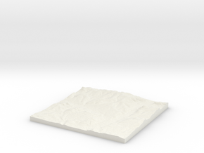
3D Terrain Relief model of Pleshey.
Centred on the towns and villages of Pleshey, High Easter, Mashbury, Hounslow Green, Ford End, Clatterford End, Howe Street, Bishop`s Green, Barnston, Wellstye Green, Good Easter, North End, Chignall Smealy, Farmbridge End, Great Waltham, Hartford End, Chalk End, Chignall St James, Broad`s Green, Philpot End, High Roding, Littley Green, Pepper`s Green, Causeway End, Coblers Green and Cock Green.
All areas of United Kingdom available in any size, scale and with any vertical scaling to emphasise the terrain to best effect.
The W S E and N numbers in the title show the Western, Southern, Eastern and Northernmost limits of the area in terms of the Ordnance Survey grid reference in kilometres.
Details
What's in the box:
W560 S210 E570 N220 Pleshey

Dimensions:
Success Rate:
First To try.
What's this?
Rating:
Mature audiences only.

More From This Shop
$33.95
$31.21