White Natural Versatile Plastic

Winchester, Hampshire W440 S122 E458 N138
Print With Shapeways
 Choose Your Material
 Choose your color and finish
$37.78
Have a question about this product?
contact the designerYou must be logged in and verified to contact the designer.
Product Description
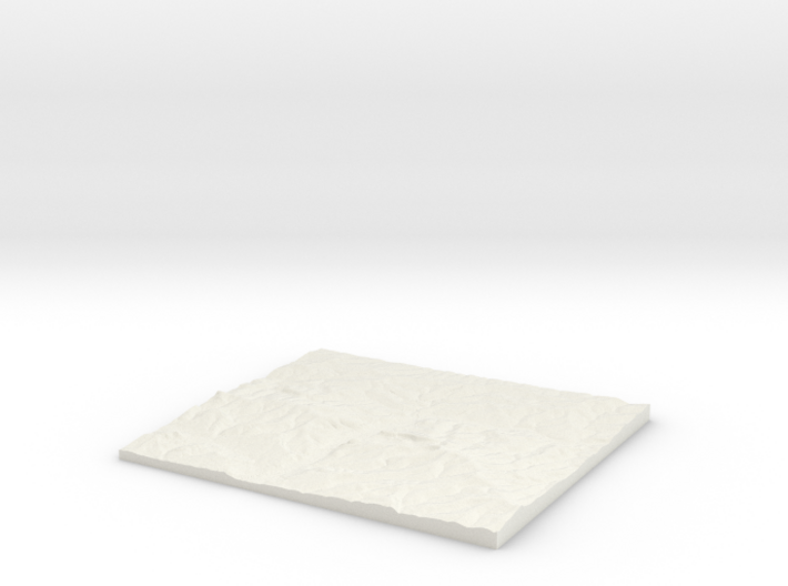
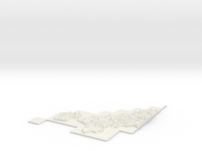
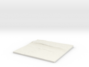
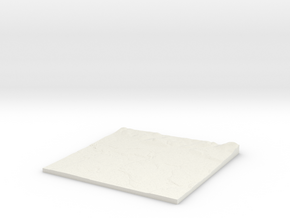
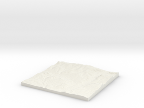
3D Landscape Relief model of Winchester.
Centred on the towns and villages of Winnall, Winchester, Fulflood, Headbourne Worthy, Kings Worthy, Weeke, Chilcomb, Abbots Worthy, Stanmore, Easton, Harestock, Martyr Worthy, Oliver`s Battery, Pitt, Dean, Twyford, Morestead, Littleton, Compton, Sparsholt, Shawford, Itchen Abbas, Hensting, Colden Common, Ovington, South Wonston, Tichborne, Owslebury, Standon, Itchen Stoke, Silkstead, Longwood House, Otterbourne, Baybridge and Hursley.
All areas of United Kingdom available in any size, scale and with any vertical scaling to emphasise the terrain to best affect.
The W S E and N numbers in the title show the Western, Southern, Eastern and Northernmost limits of the area in terms of the Ordnance Survey grid reference in kilometres.
Tags
relief mapDetails
What's in the box:
W440 S122 E458 N138 Winchester_fixed

Dimensions:
Success Rate:
First To try.
What's this?
Rating:
Mature audiences only.

More From This Shop
$33.95
$31.21