


Product Description
Interactive 3D View
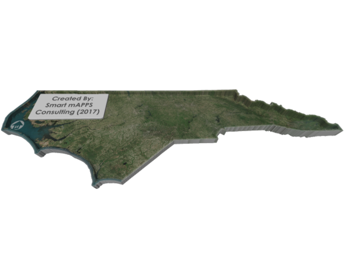
If you would like a custom relief map, contact me through my website or through Shapeways. Check out photos of my other 3D prints.
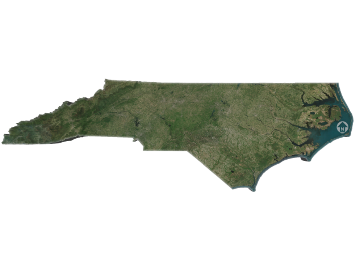
North Carolina is a state in the southeastern region of the United States. The state borders South Carolina and Georgia to the south, Tennessee to the west, Virginia to the north, and the Atlantic Ocean to the east. North Carolina is the 28th most extensive and the 9th most populous of the U.S. states. The state is divided into 100 counties. The capital is Raleigh. The most populous municipality is Charlotte, which is the second largest banking center in the United States after New York City.The state has a wide range of elevations, from sea level on the coast to 6,684 feet (2,037 m) at Mount Mitchell, the highest point in North America east of the Mississippi River. The climate of the coastal plains is strongly influenced by the Atlantic Ocean. Most of the state falls in the humid subtropical climate zone. More than 300 miles (500 km) from the coast, the western, mountainous part of the state has a subtropical highland climate.
Source: Wikipedia
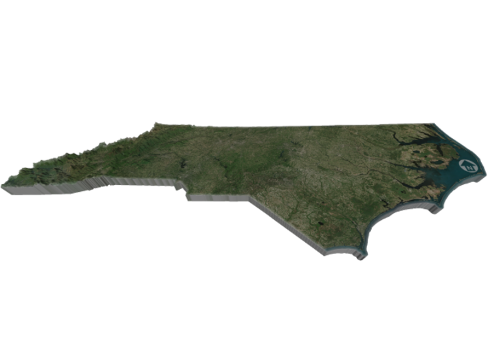
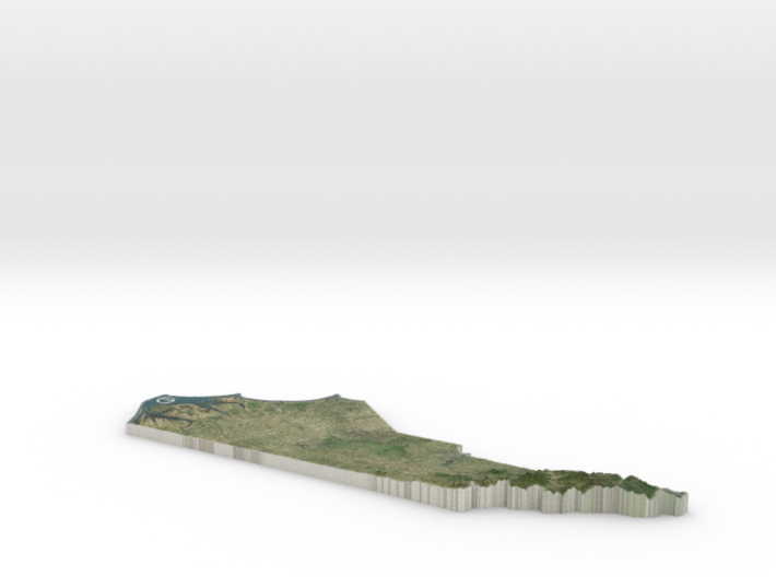
The model is created at a scale of 1:1,698,500 with 12x vertical exaggeration. It features a built-in base, so it sits perfectly on a desk or in a frame.
Model Data Sources: NASA
If you would like a custom relief map, contact me through my website or through Shapeways. Check out photos of my other 3D prints.
North Carolina is a state in the southeastern region of the United States. The state borders South Carolina and Georgia to the south, Tennessee to the west, Virginia to the north, and the Atlantic Ocean to the east. North Carolina is the 28th most extensive and the 9th most populous of the U.S. states. The state is divided into 100 counties. The capital is Raleigh. The most populous municipality is Charlotte, which is the second largest banking center in the United States after New York City.The state has a wide range of elevations, from sea level on the coast to 6,684 feet (2,037 m) at Mount Mitchell, the highest point in North America east of the Mississippi River. The climate of the coastal plains is strongly influenced by the Atlantic Ocean. Most of the state falls in the humid subtropical climate zone. More than 300 miles (500 km) from the coast, the western, mountainous part of the state has a subtropical highland climate.
Source: Wikipedia
The model is created at a scale of 1:1,698,500 with 12x vertical exaggeration. It features a built-in base, so it sits perfectly on a desk or in a frame.
Model Data Sources: NASA
Details
What's in the box:
NorthCarolina-FullColor-14inch

Dimensions:
Success Rate:
First To try.
What's this?
Rating:
Mature audiences only.


