


Product Description
The Nepalese call Mt. Everest "Samgarmatha" ("Goddess of the Universe" or literally “Forehead of the Sky”) and Sherpas and Tibetans call it "Qomolangma" ("Goddess Mother of the Land"). For them the mountain is sacred and climbing it was never considered. According to a Sherpa legend, Mt. Everest is the home of a goddess bearing a bowl of food and a mongoose spitting jewels.
Mt. Everest has two main climbing routes, the southeast ridge from Nepal and the north ridge from Tibet, as well as many other less frequently climbed routes. Of the two main routes, the southeast ridge is technically easier and is the more frequently used route. This was Edmund Hillary’s and Tenzing Norgay’s route during the first recorded successful summit in 1953 and the first recognized of fifteen routes to the top by 1996.
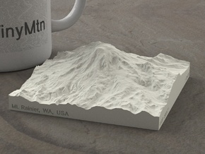
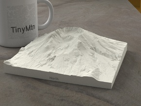
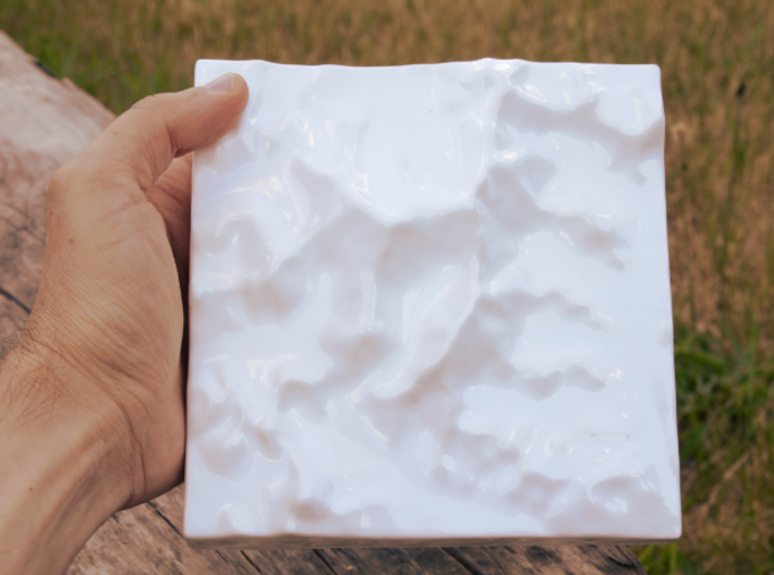
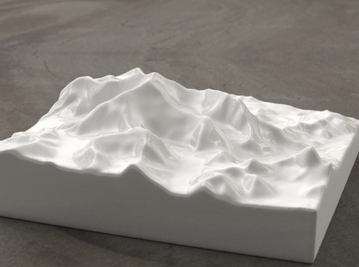
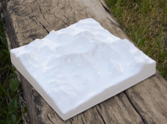
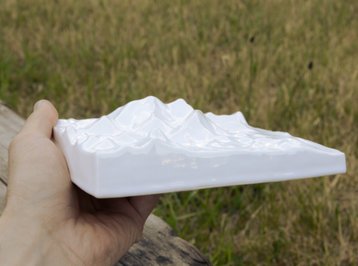
Our model of Mt. Everest covers 330 square km in area and spans 4.6 vertical km. It includes the entirety of the Mt. Everest massif (Nuptse, Lhotse, Peak 38, and Shartse on the South Ridge, the West Ridge towering above Rongbuk Glacier and Khumbu Ice Falls, Northeast and Fantasy Ridge, and across the North Col to Changtse), plus numerous nearby peaks and ridges, including Khumbutse, Lingtren, and Pumori to the Northwest, Chukhung and Pokalde to the Southwest, and Island Peak and Cho Polu under Lhotse's massive South face.
Model scale is 1:121200
Model covers an area approximately 18.2 by 18.2 km
Altitudes covered: 4249m to 8848m
There is never any vertical exaggeration in TinyMtn models.
Click here for more sizes.
Click here for other 15cm models.
(C) 2014 TinyMtn (TM)
Model created using GDAL, NetPBM, Gmsh, Carve, MeshLab, and other custom software
Source of digital elevation data: Viewfinder Panoramas
Viewfinder Panoramas provides cleaned and modified versions of DEM data
from ASTER GDEM, SRTM, and local sources. Data used without permission.
The Viewfinder Panoramas home page is http://www.viewfinderpanoramas.org/