


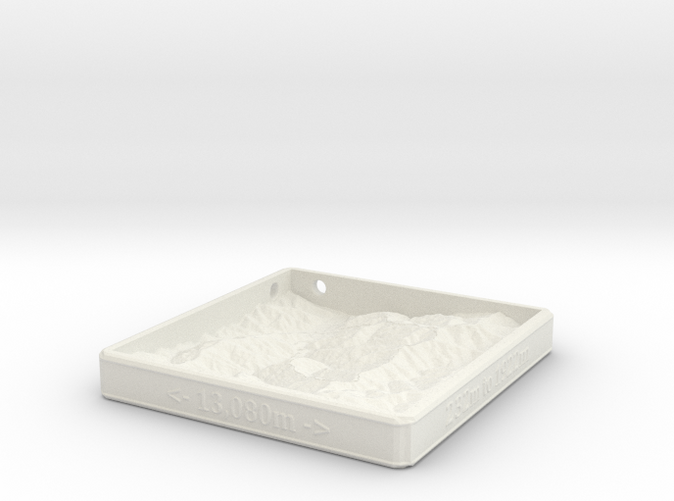
Mt. Feathertop
Made by
Print With Shapeways
 Choose Your Material
 Choose your color and finish
$168.96
Have a question about this product?
contact the designerYou must be logged in and verified to contact the designer.
Product Description
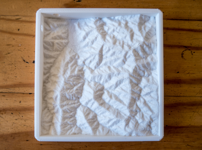
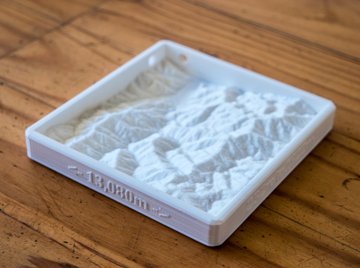
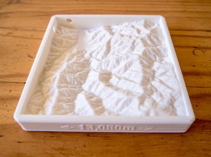
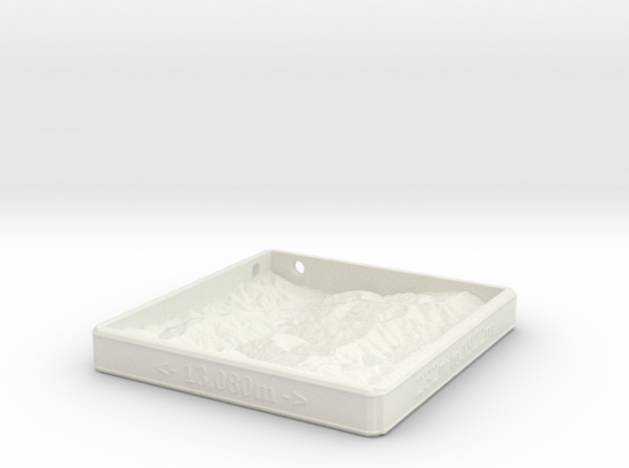
A relief map of Mt. Feathertop, in the Victorian Alps. This map is largely a demonstrative product. The height information is accurate to 30m, and the Bungalow Spur, Razorback & Bon Accord Spur track that is marked is based on GPS data. Similar maps can be produced of any location in Australia, on request.
This map, in particular, covers an area of 13080 x 12570 meters, with elevation from 232m to 1922m above sea level. Care has been taken to keep everything in proportion.
This map, in particular, covers an area of 13080 x 12570 meters, with elevation from 232m to 1922m above sea level. Care has been taken to keep everything in proportion.
Details
What's in the box:
Mt. Feathertop
Dimensions:
Success Rate:
First To try.
What's this?
Rating:
Mature audiences only.

More From This Shop
$10.38


$36.61