


Topographic Mars
Made by
Print With Shapeways
 Choose Your Material
 Choose your color and finish
$58.58
Have a question about this product?
contact the designerYou must be logged in and verified to contact the designer.
Product Description
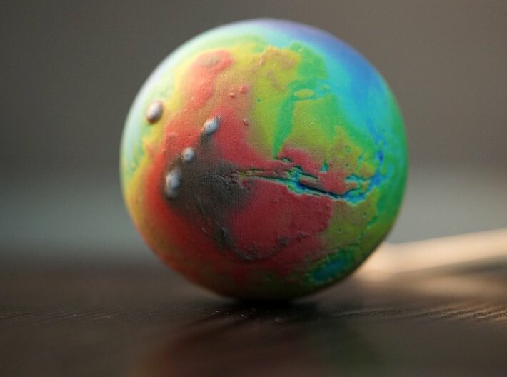
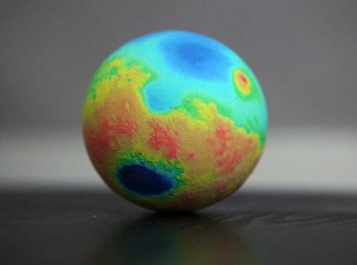
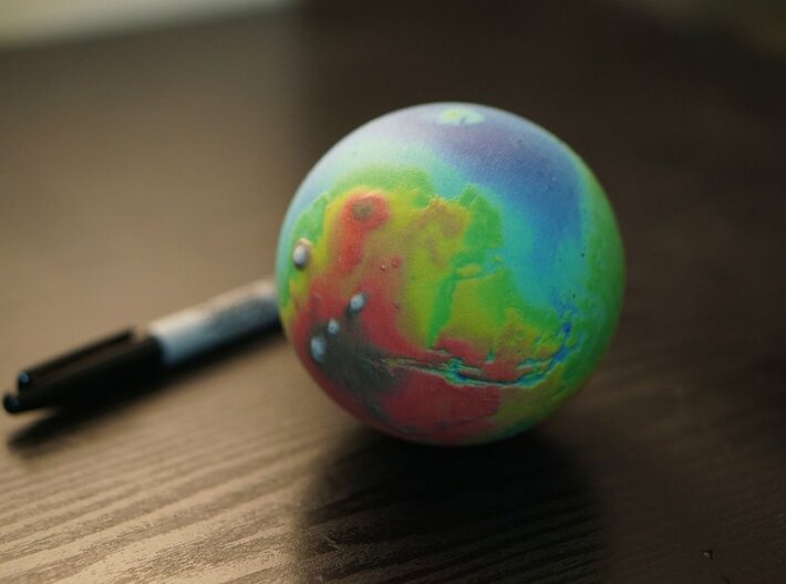
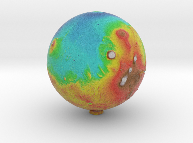
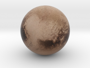
A false colour topographic Mars Globe with relief detail.
70mm Version
90mm Version
120mm Version
200mm Version
Based on MOLA data from the Mars Global Surveyor, this "false colour" colouration is a representation of global elevation differences mapped to a gradient. From white for the highest peaks, to red and yellow, to blue and purple for the lowest plains and basins.
Such a globe can allow someone to quickly get a feel of the planet's overall geology. Such as the enormous Mons, the smooth northern hemisphere or the enormous Hellas Planitia impact basin.
Details
What's in the box:
Mars70falsecolour
Dimensions:
Success Rate:
First To try.
What's this?
Rating:
Mature audiences only.
More From This Shop
$71.06
$24.90
$194.24
$258.42