Glossy Full Color Sandstone

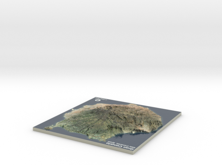
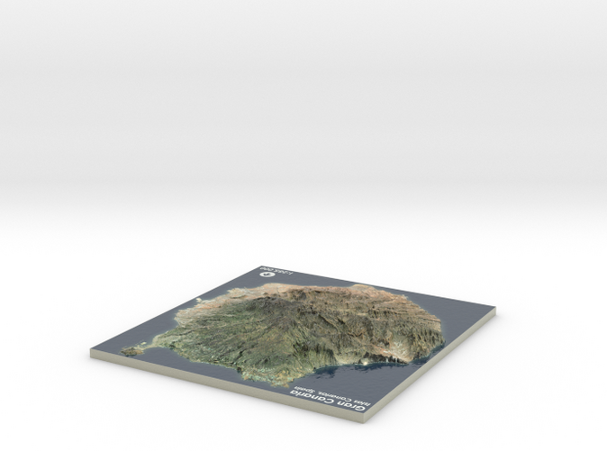
Gran Canaria Map, Canary Islands - Medium
Made by
Print With Shapeways
 Choose Your Material
 Choose your color and finish
$149.46
Have a question about this product?
contact the designerYou must be logged in and verified to contact the designer.
Product Description
If you would like a custom relief map, contact me through my website or through Shapeways.
Gran Canaria (Spanish pronunciation: [ɡɾaŋ kaˈna.ɾja]; originally meaning "Great [Island] of Dogs") is the second most populous island of the Canary Islands, an African archipelago which is part of Spain, with a population of 847,830 (in 2015) that constitutes approximately 40% of the population of the archipelago. Located in the Atlantic Ocean about 150 kilometres (93 mi) off the northwestern coast of Africa and about 1,350 km (840 mi) from Europe.[2] With an area of 1,560 km2 (602 sq. mi)[3] and an altitude of 1,956 m (6,417 ft)[4] at the Pico de las Nieves, Gran Canaria is the third largest island of the archipelago in both area and altitude.
Gran Canaria was populated by the Canarii, who may have arrived as early as 500 BC. The Canarii called the island Tamarán or Land of the Brave. After over a century of European incursions and attempts at conquest, the island was conquered on April 29, 1483, after a campaign that lasted five years, by the Crown of Castile, with the support of Queen Isabella I, a conquest which turned out to be an important step towards the expansion of the unified Spain.
The capital city of Las Palmas de Gran Canaria was founded on June 24, 1478, under the name "Real de Las Palmas", by Juan Rejón, head of the invading Castilian army. In 1492, Christopher Columbus anchored in the Port of Las Palmas (and spent some time on the island) on his first trip to the Americas. Las Palmas de Gran Canaria is, jointly with Santa Cruz de Tenerife, the capital of the autonomous community of the Canary Islands.
Source: Wikipedia
The model is created at a scale of 1:200,000 with 2.5x vertical exaggeration. It features a built-in base, so it sits perfectly on a desk or in a frame.
Model Data Sources: Instituto Geográfico Nacional (IGN)
Details
What's in the box:
Gran-Canaria-6.65x7-md
Dimensions:
Success Rate:
First To try.
What's this?
Rating:
Mature audiences only.


