Aluminum

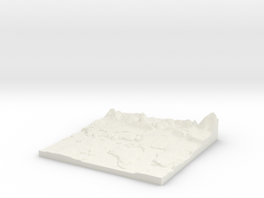
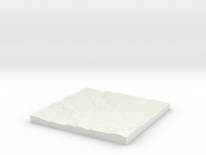
Farnborough W540 S160 E550 N170
Print With Shapeways
 Choose Your Material
 Choose your color and finish
$998.78
Have a question about this product?
contact the designerYou must be logged in and verified to contact the designer.
Product Description
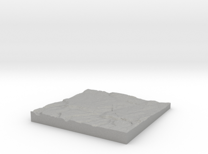
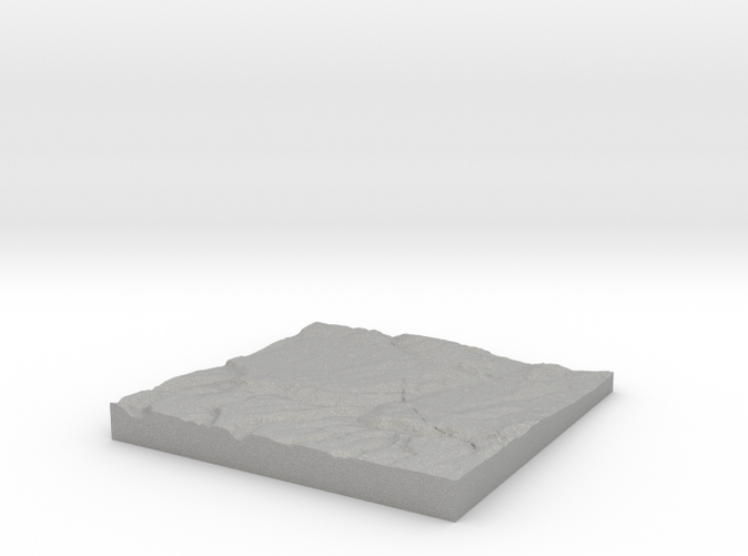
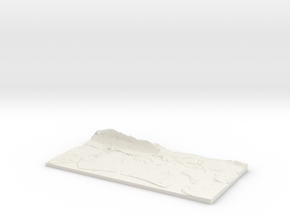
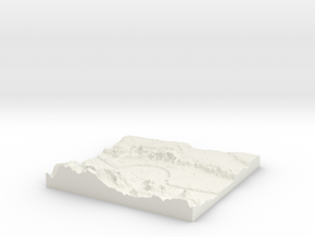
3D Terrain Relief model of Farnborough.
Centred on the towns and villages of Farnborough, Green Street Green, Locksbottom, Orpington, Petts Wood, Chelsfield, Bromley Common, Farthing Street, Keston, Southborough, Pratt`s Bottom, Downe, St Mary Cray, Well Hill, Nash, St Pauls Cray, Hayes, Bickley, Widmore, Leaves Green, Halstead, Badgers Mount and Bromley.
All areas of United Kingdom available in any size, scale and with any vertical scaling to emphasise the terrain to best effect.
The W S E and N numbers in the title show the Western, Southern, Eastern and Northernmost limits of the area in terms of the Ordnance Survey grid reference in kilometres.
Details
What's in the box:
W540 S160 E550 N170 Farnborough
Dimensions:
Success Rate:
First To try.
What's this?
Rating:
Mature audiences only.
