


Fort Crown Point, Fall - 6"x6"
Made by
Print With Shapeways
 Choose Your Material
 Choose your color and finish
$141.84
Have a question about this product?
contact the designerYou must be logged in and verified to contact the designer.
Product Description
Interactive 3D View
If you would like a custom relief map, contact me through my website or through Shapeways. Check out photos of my other 3D prints.
Other Versions
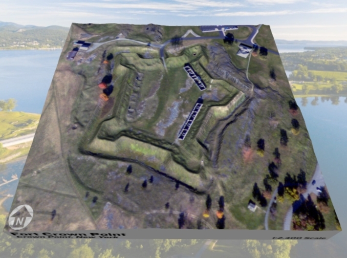
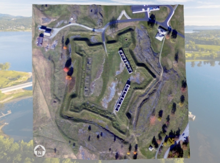
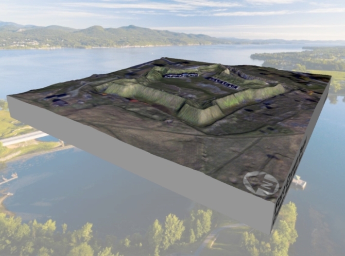
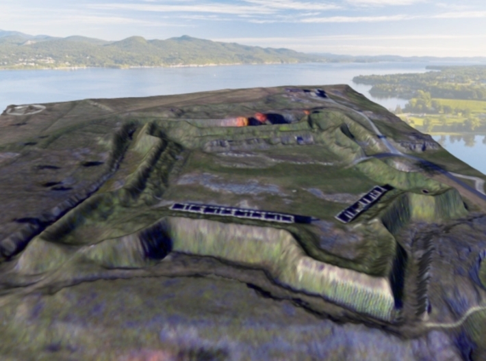
Fort Crown Point was a British fort built by the combined efforts of both British and provincial troops (from New York and the New England Colonies) in North America in 1759 at a narrows on Lake Champlain on what later became the border between New York and Vermont. Erected to secure the region against the French, the fort is in upstate New York near the town of Crown Point and was the largest earthen fortress built in the United States. The fort's ruins, a National Historic Landmark, are now administered as part of Crown Point State Historic Site.
Source: Wikipedia
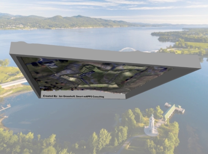
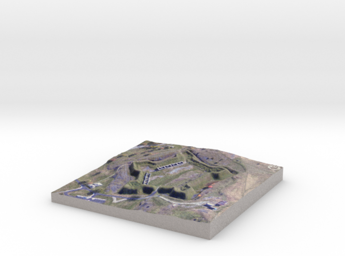
The model is created at a scale of 1:2,400 with 1.5x vertical exaggeration. It features a built-in base, so it sits perfectly on a desk or in a frame.
Model Data Sources: Elevation (State of NY), Imagery (State of NY)
If you would like a custom relief map, contact me through my website or through Shapeways. Check out photos of my other 3D prints.
Other Versions
Fort Crown Point was a British fort built by the combined efforts of both British and provincial troops (from New York and the New England Colonies) in North America in 1759 at a narrows on Lake Champlain on what later became the border between New York and Vermont. Erected to secure the region against the French, the fort is in upstate New York near the town of Crown Point and was the largest earthen fortress built in the United States. The fort's ruins, a National Historic Landmark, are now administered as part of Crown Point State Historic Site.
Source: Wikipedia
The model is created at a scale of 1:2,400 with 1.5x vertical exaggeration. It features a built-in base, so it sits perfectly on a desk or in a frame.
Model Data Sources: Elevation (State of NY), Imagery (State of NY)
Details
What's in the box:
CrownPoint-6x6-DEM_Fall

Dimensions:
Success Rate:
First To try.
What's this?
Rating:
Mature audiences only.


