


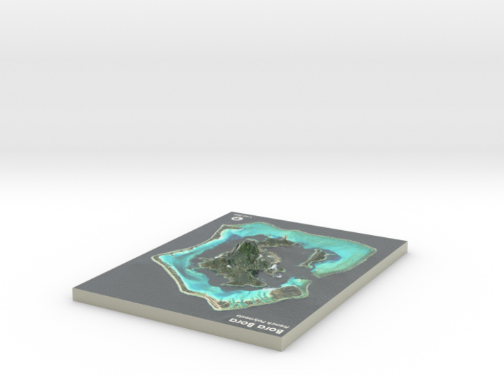
Bora Bora Map, French Polynesia
Made by
Print With Shapeways
 Choose Your Material
 Choose your color and finish
$314.61
Have a question about this product?
contact the designerYou must be logged in and verified to contact the designer.
Product Description
If you would like a custom relief map, contact me through my website or through Shapeways.
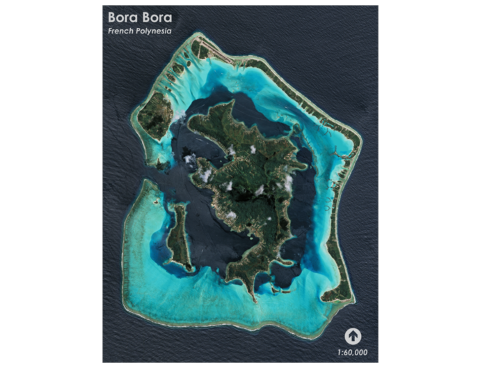
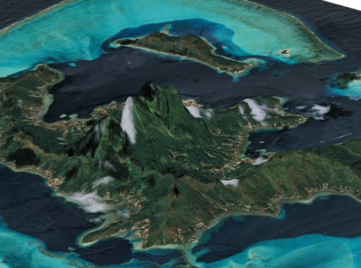
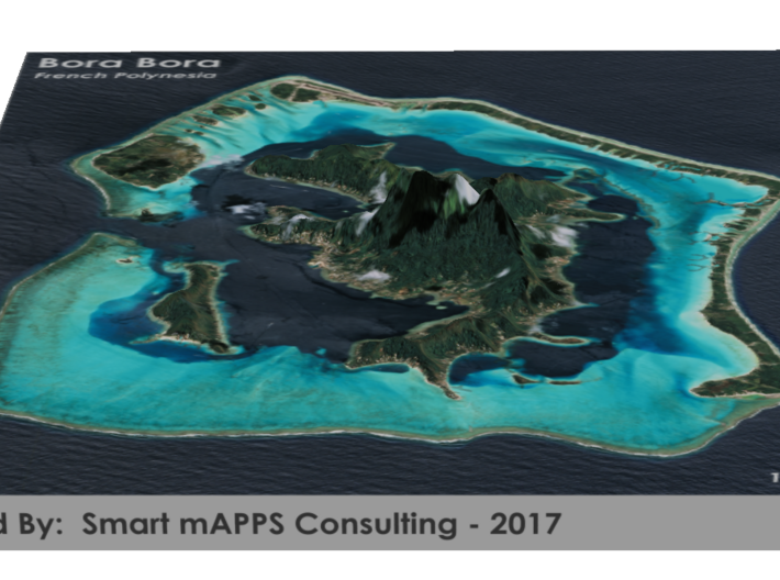
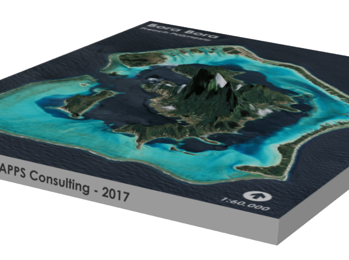
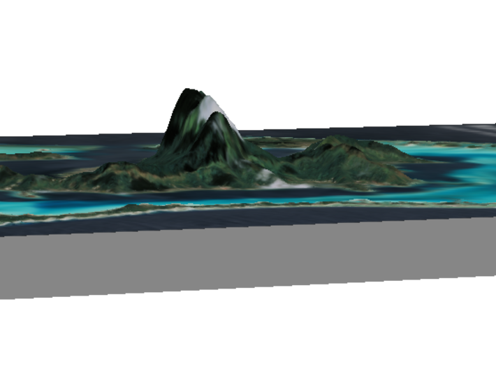
Bora Bora is a 29.3 km2 (11 sq mi) island in the Leeward group in the western part of the Society Islands of French Polynesia, an overseas collectivity of France in the Pacific Ocean. The island, located about 230 kilometres (143 miles) northwest of Papeete, is surrounded by a lagoon and a barrier reef. In the centre of the island are the remnants of an extinct volcano rising to two peaks, Mount Pahia and Mount Otemanu, the highest point at 727 metres (2,385 feet).
Bora Bora is a major international tourist destination, famous for its aqua-centric luxury resorts. The major settlement, Vaitape, is on the western side of the main island, opposite the main channel into the lagoon. Produce of the island is mostly limited to what can be obtained from the sea and the plentiful coconut trees, which were historically of economic importance for copra. According to a 2008 census, Bora Bora has a permanent population of 8,880.
Source: Wikipedia
The model is created at a scale of 1:60,000 with 2x vertical exaggeration. It features a built-in base, so it sits perfectly on a desk or in a frame.
Model Data Sources: NASA
Details
What's in the box:
Bora-Bora-8.5x11

Dimensions:
Success Rate:
First To try.
What's this?
Rating:
Mature audiences only.


