


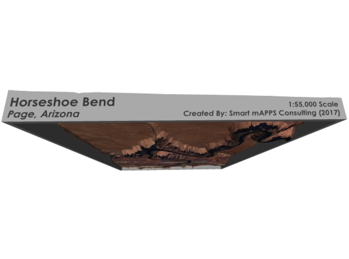


Horseshoe Bend Map, Arizona
Made by
Print With Shapeways
 Choose Your Material
 Choose your color and finish
$299.99
Have a question about this product?
contact the designerYou must be logged in and verified to contact the designer.
Product Description
Interactive 3D View
If you would like a custom relief map, contact me through my website or through Shapeways. Check out photos of my other 3D prints.
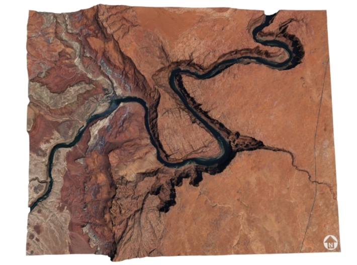
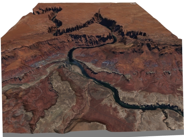
Horseshoe Bend is a horseshoe-shaped incised meander of the Colorado River located near the town of Page, Arizona, in the United States.
Horseshoe Bend is located 5 miles (8.0 km) downstream from the Glen Canyon Dam and Lake Powell within Glen Canyon National Recreation Area, about 4 miles (6.4 km) southwest of Page.
It is accessible via hiking a 1.5-mile (2.4 km) round trip from U.S. Route 89, but an access road also reaches the geological structure, as it is part of a state park. Horseshoe Bend can be viewed from the steep cliff above.[1]
The overlook is 4,200 feet (1,300 m) above sea level, and the Colorado River is at 3,200 feet (980 m) above sea level, making it a 1,000-foot (300 m) drop.[2]
The rock walls of Horseshoe Bend contain a variety of minerals, among which are hematite, platinum and garnet.
Source: Wikipedia
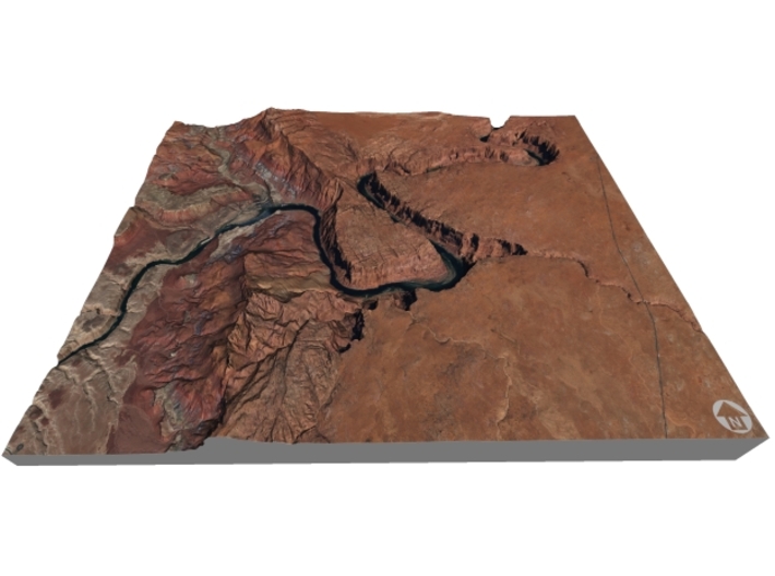
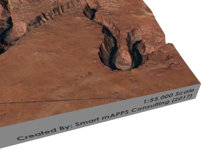
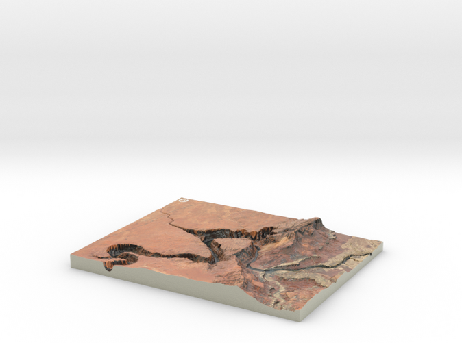
The model is created at a scale of 1:55,000 with 1.5x vertical exaggeration. It features a built-in base, so it sits perfectly on a desk or in a frame.
Model Data Sources: USDA, USGS
If you would like a custom relief map, contact me through my website or through Shapeways. Check out photos of my other 3D prints.
Horseshoe Bend is a horseshoe-shaped incised meander of the Colorado River located near the town of Page, Arizona, in the United States.
Horseshoe Bend is located 5 miles (8.0 km) downstream from the Glen Canyon Dam and Lake Powell within Glen Canyon National Recreation Area, about 4 miles (6.4 km) southwest of Page.
It is accessible via hiking a 1.5-mile (2.4 km) round trip from U.S. Route 89, but an access road also reaches the geological structure, as it is part of a state park. Horseshoe Bend can be viewed from the steep cliff above.[1]
The overlook is 4,200 feet (1,300 m) above sea level, and the Colorado River is at 3,200 feet (980 m) above sea level, making it a 1,000-foot (300 m) drop.[2]
The rock walls of Horseshoe Bend contain a variety of minerals, among which are hematite, platinum and garnet.
Source: Wikipedia
The model is created at a scale of 1:55,000 with 1.5x vertical exaggeration. It features a built-in base, so it sits perfectly on a desk or in a frame.
Model Data Sources: USDA, USGS
Details
What's in the box:
Horseshoe-bend-8x10
Dimensions:
Success Rate:
First To try.
What's this?
Rating:
Mature audiences only.


