

US Drone Owner Heightmap
Made by
Print With Shapeways
 Choose Your Material
 Choose your color and finish
$33.14
Have a question about this product?
contact the designerYou must be logged in and verified to contact the designer.
Product Description
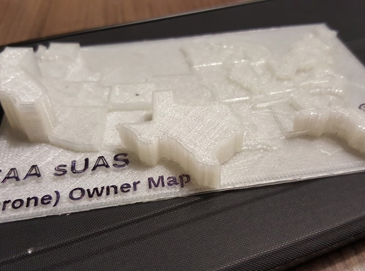
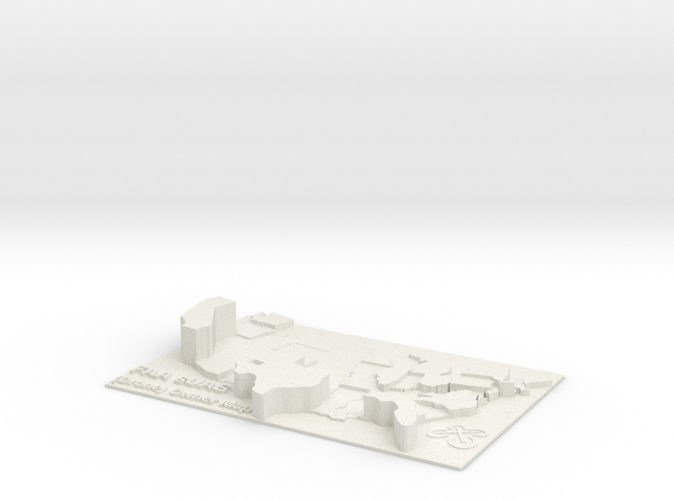
In May 2016, the FAA released location data for the first 6 months of their UAS owner registry. This model depicts both visually and tactilely where the most drone owners are in the US.
The top 5 states are:
- California - 57,953
- Texas - 36,704
- Florida - 35,170
- New York - 21,649
- Pennsylvania - 17,140
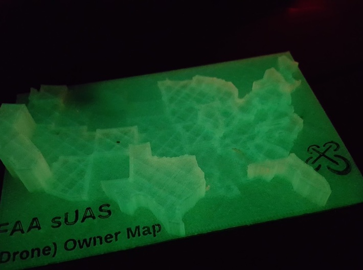
This data has also allowed us to make some interesting heatmaps of specific conentrations of drone owners.
This file is available for free on Thingiverse, if you've got your own printer.
Details
What's in the box:
US Drone Owner Heightmap
Dimensions:
Success Rate:
First To try.
What's this?
Rating:
Mature audiences only.

More From This Shop
$19.31
$26.77
$11.19