Town Down 1


Canyonlands National Park Map
Made by
Print With Shapeways
 Choose Your Material
 Choose your color and finish
$262.79
Have a question about this product?
contact the designerYou must be logged in and verified to contact the designer.
Product Description
If you would like a custom relief map, contact me through my website or through Shapeways.
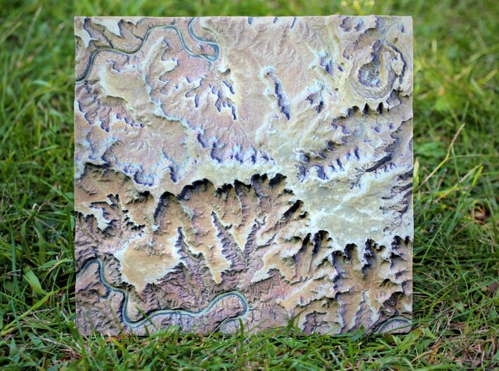
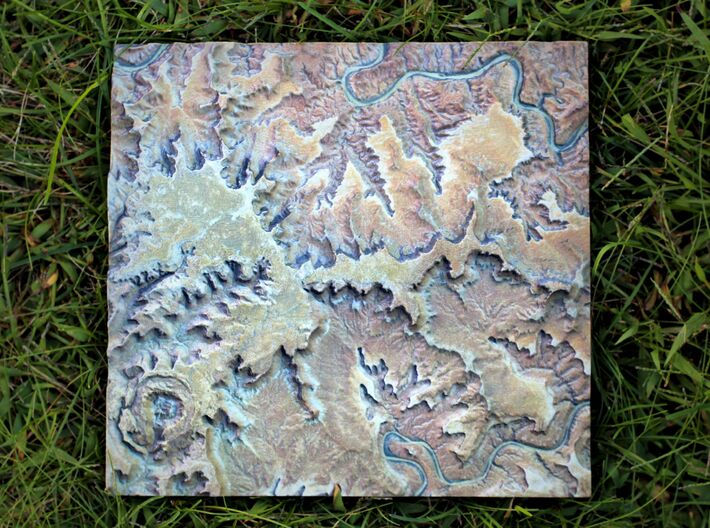
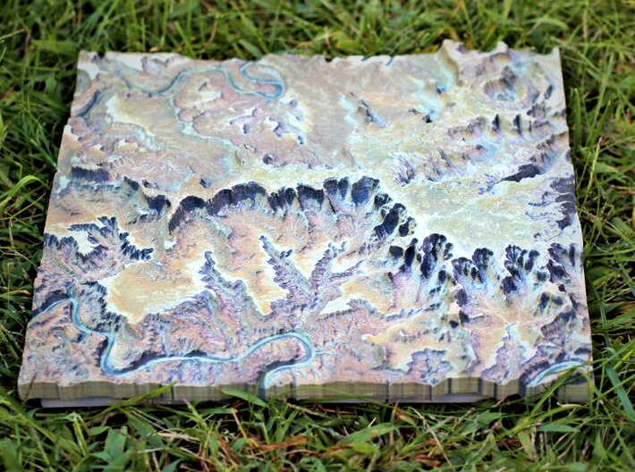
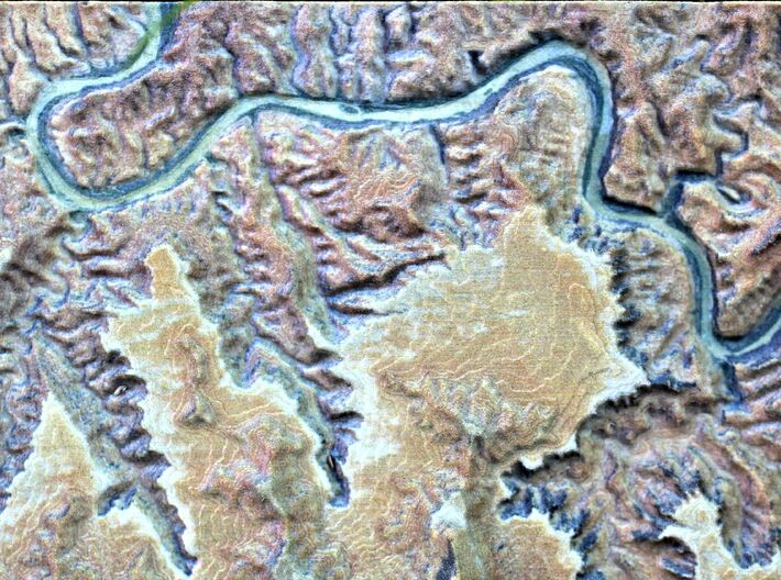
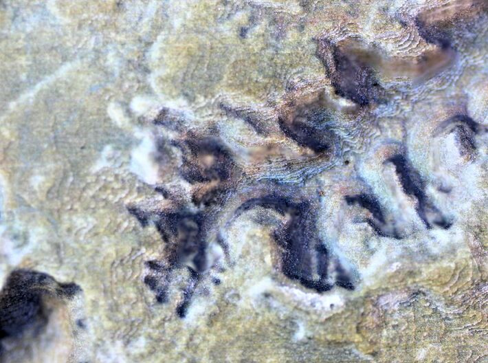
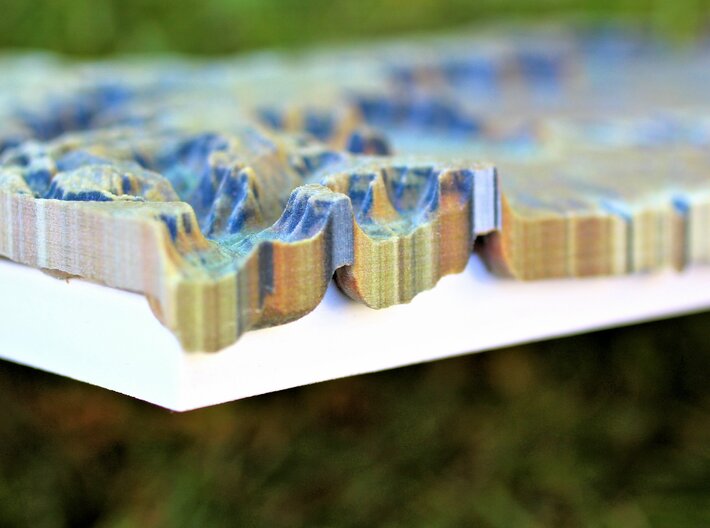
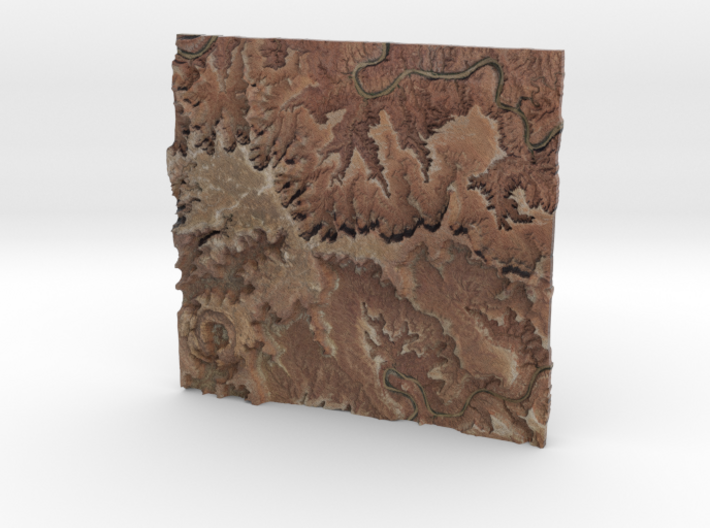
After a family trip to the American South West I was inspired to enshrine one of the many scenic vistas in full color sandstone. After visiting eight different National Parks, I decided that Canyonlands was one of my favorites. This relief map covers a northern portion of the park, an area which is called the “Island in the Sky.” Also, located in upper left portion of the model you will also notice a unique circular geologic feature called “Upheaval Dome.” This relief map was created at a 1:100,000 scale and has a 4x vertical exaggeration. Based on the size and scale, the relief map covers approximately 146 square miles. This model also includes a built-in base for easy display.
Check out this Map of the area..it shows the real world extent of the model!
Details
What's in the box:
Canyonlands National Park Map

Dimensions:
Success Rate:
First To try.
What's this?
Rating:
Mature audiences only.


