

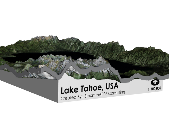


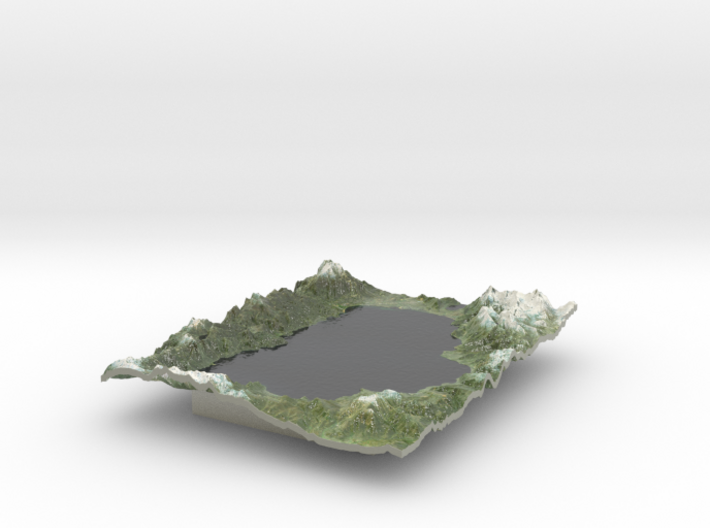
Lake Tahoe Map, California / Nevada
Made by
Print With Shapeways
 Choose Your Material
 Choose your color and finish
$359.46
Have a question about this product?
contact the designerYou must be logged in and verified to contact the designer.
Product Description
If you would like a custom relief map, contact me through my website or through Shapeways.
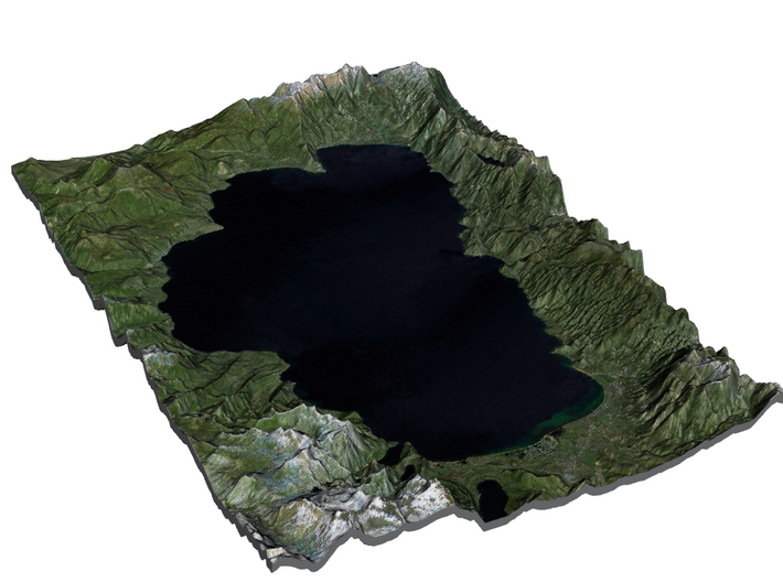
Lake Tahoe (/ˈtɑːhoʊ/) is a large freshwater lake in the Sierra Nevada of the United States. At a surface elevation of 6,225 ft (1,897 m), it straddles the border between California and Nevada, west of Carson City. Lake Tahoe is the largest alpine lake in North America.[3] Its depth is 1,645 ft (501 m), making it the second deepest in the United States after Crater Lake (1,945 ft (593 m)).[1] Additionally, Lake Tahoe is the sixth largest lake by volume in the United States at 122,160,280 acre·ft (150,682,490 dam3), behind the five Great Lakes.
The lake was formed about 2 million years ago and is a part of the Lake Tahoe Basin with the modern lake being shaped during the ice ages. It is known for the clarity of its water and the panorama of surrounding mountains on all sides.[4] The area surrounding the lake is also referred to as Lake Tahoe, or simply Tahoe. More than 75% of the lake's watershed is national forest land, comprising the Lake Tahoe Basin Management Unit of the United States Forest Service.
Lake Tahoe is a major tourist attraction in both Nevada and California. It is home to a number of ski resorts, summer outdoor recreation, and tourist attractions. Snow and skiing are a significant part of the area's economy and reputation.[5][6] Mountain and lake scenery are attractions throughout the year. The Nevada side also includes large casinos. Highways provide year-round access to the area.
Source: Wikipedia
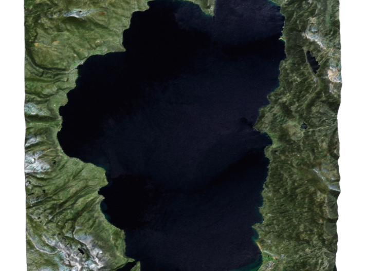
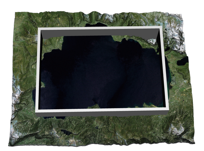
This model of the Lake Tahoe was created at a scale of 1:100,000 using a 3x vertical exaggeration.
Data Sources: USGS and USDA
Lake Tahoe (/ˈtɑːhoʊ/) is a large freshwater lake in the Sierra Nevada of the United States. At a surface elevation of 6,225 ft (1,897 m), it straddles the border between California and Nevada, west of Carson City. Lake Tahoe is the largest alpine lake in North America.[3] Its depth is 1,645 ft (501 m), making it the second deepest in the United States after Crater Lake (1,945 ft (593 m)).[1] Additionally, Lake Tahoe is the sixth largest lake by volume in the United States at 122,160,280 acre·ft (150,682,490 dam3), behind the five Great Lakes.
The lake was formed about 2 million years ago and is a part of the Lake Tahoe Basin with the modern lake being shaped during the ice ages. It is known for the clarity of its water and the panorama of surrounding mountains on all sides.[4] The area surrounding the lake is also referred to as Lake Tahoe, or simply Tahoe. More than 75% of the lake's watershed is national forest land, comprising the Lake Tahoe Basin Management Unit of the United States Forest Service.
Lake Tahoe is a major tourist attraction in both Nevada and California. It is home to a number of ski resorts, summer outdoor recreation, and tourist attractions. Snow and skiing are a significant part of the area's economy and reputation.[5][6] Mountain and lake scenery are attractions throughout the year. The Nevada side also includes large casinos. Highways provide year-round access to the area.
Source: Wikipedia
This model of the Lake Tahoe was created at a scale of 1:100,000 using a 3x vertical exaggeration.
Data Sources: USGS and USDA
Details
What's in the box:
Lake Tahoe

Dimensions:
Success Rate:
First To try.
What's this?
Rating:
Mature audiences only.


