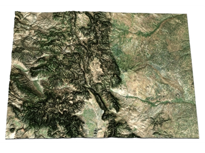


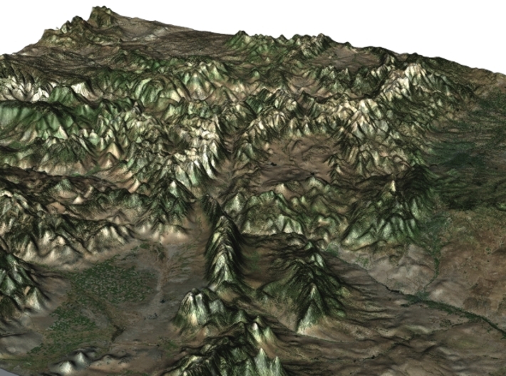

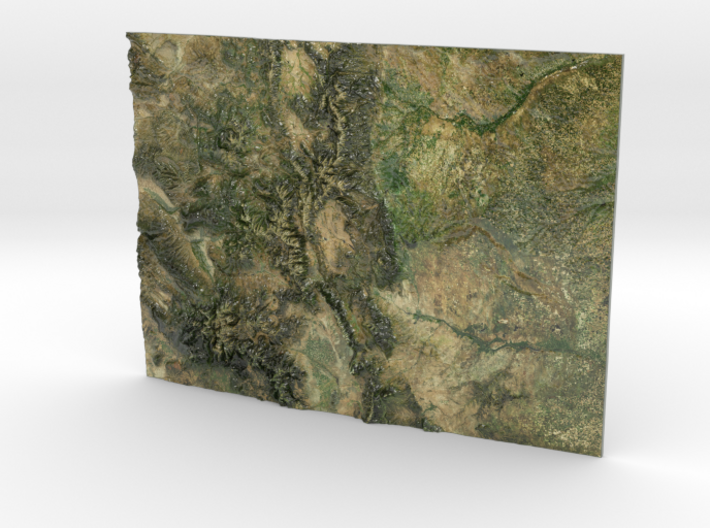
Colorado Map
Made by
Print With Shapeways
 Choose Your Material
 Choose your color and finish
$299.25
Have a question about this product?
contact the designerYou must be logged in and verified to contact the designer.
Product Description
If you would like a custom relief map, contact me through my website or through Shapeways. Check out photos of my other 3D prints.
Colorado is a state of the United States encompassing most of the southern Rocky Mountains as well as the northeastern portion of the Colorado Plateau and the western edge of the Great Plains. It is the 8th largest geographically and 21st most populous U.S. state. The estimated population of Colorado was 5,540,545 on July 1, 2016, an increase of 10.17% since the 2010 United States Census.[11]
The state was named for the Colorado River, which Spanish travelers named the Río Colorado for the ruddy silt the river carried from the mountains. The Territory of Colorado was organized on February 28, 1861, and on August 1, 1876, U.S. President Ulysses S. Grant signed Proclamation 230 admitting Colorado to the Union as the 38th state. Colorado is nicknamed the "Centennial State" because it became a state a century after the signing of the United States Declaration of Independence.
Source: Wikipedia
The model is created at a scale of 1:2,860,000 with a vertical exaggeration of 12x. It features a built-in base, so it sits perfectly on a desk or in a frame.
Model Data Sources: NASA
Details
What's in the box:
Colorado

Dimensions:
Success Rate:
First To try.
What's this?
Rating:
Mature audiences only.


